
Jökulsárlón history begins beyond the icebergs
Jökulsárlón history is a story of a changing coast: land used by settlers, a glacier advancing towards the sea, then retreat and lagoon formation after 1930. The icebergs seen today belong to that continuing process. They break from Breiðamerkurjökull, an outlet glacier of Vatnajökull, rather than from a permanent collection of ice floating in an unchanging lake.
Start with the wider Breiðamerkursandur plain when reading the landscape. The national park's historical account draws on Landnámabók to describe settlement since the settlement period, earlier vegetation and farming, and the worsening conditions associated with glacier advance. This is a historical account of the region, rather than an exact archaeological date for the first occupied site beside today's lagoon.
For a visit, combine this background with the lagoon overview. The arrival guide covers access and parking, while boat tours explains the difference between viewing the water from shore and joining an excursion.
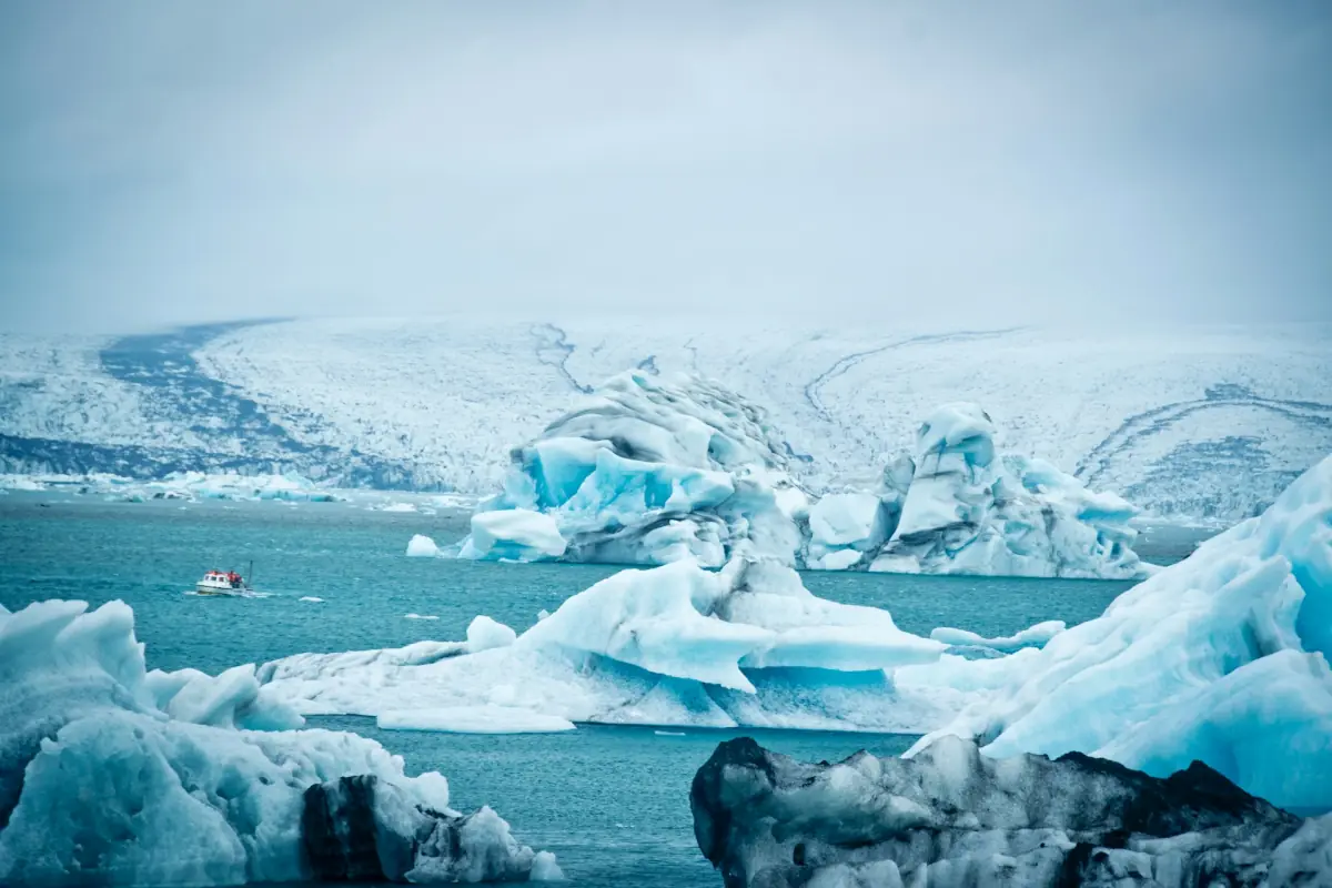
From glacier advance to an open lagoon
The national park traces cooling from the thirteenth century and places Breiðamerkurjökull's greatest extent in the eighteenth and nineteenth centuries. Ice pressed close to the coast and changed the conditions for people using the plain. The open water visible now therefore represents a very different landscape from the one at the glacier's greatest extent.
Retreat began in the early twentieth century. Lagoon formation followed after 1930 as the glacier withdrew. Read those stages together: the advance explains the earlier pressure on inhabited land, while the retreat explains the space now occupied by water. Neither stage supplies a fixed timetable for what a visitor will see on a future date.
Our pick: see the lagoon
This guided Reykjavík excursion includes a boat ticket to see the lagoon in person.
Hand-picked tours, booked through GetYourGuide. Prices are indicative starting prices in euros (as of October 2026). Tap a tour for live availability and the current price in your currency.
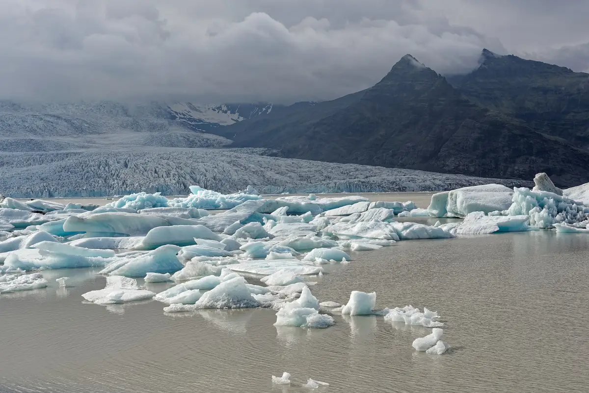
See the lagoon from shore and water
This Reykjavík day excursion includes a guided visit, hotel transfer and a boat ticket. It offers a view of the glacial landscape rather than a specialist history tour.
Calving, seawater and a changing shoreline
Surface melting and calving both contribute to glacier loss. Calving is the breaking away of ice from the glacier front; floating ice is one visible result. The lagoon surface is at sea level, and seawater enters at high tide. Glacier, lagoon and sea should therefore be understood as connected parts of this coastal setting.
Figures for a glacier-carved trough describe a different feature from measurements of the water itself. Likewise, a published total for several lagoons does not describe Jökulsárlón alone. Looking at the relationships between ice, water and shore is more useful here than treating a historical regional measurement as the lagoon's size today.
Observe the ice from the shore or on a guided activity. Floating blocks can overturn or break without warning, so never climb onto an iceberg. Enter glaciers and natural ice caves only with a certified guide. A photograph of an accessible-looking ice edge is not a safe route onto the glacier.
Seals and protected wildlife
The national park describes seal colonies at river mouths and identifies Breiðamerkursandur as a breeding area for birds including skuas, red-throated divers, greylag geese and barnacle geese. Wildlife is part of the landscape, but a visit is not a promise of a seal sighting. Watch quietly, keep dogs on leads and give animals space.
Stay on marked paths and take litter away. Wildlife protection also matters when planning aerial photography: local drone rules include breeding-season restrictions, time windows and excluded areas. Consult the national park's rules for the particular location and date instead of treating open space as permission to fly.
The national park chapter
Breiðamerkursandur, including Jökulsárlón and Fellsfjara, became part of the national park in summer 2017. That dated expansion is a chapter in the area's protection history. The broader relationship between glaciers, protected landscapes and visitor areas is covered by Vatnajökull National Park.
On site, interpretation includes ranger support, a signed visitor path and a photography exhibition at Eystri-Fellsfjara car park. Use these to connect what is visible with the wider history. Allow time to read the signs rather than making the lagoon only a photograph stop on a long drive.
Questions about the lagoon's past
When did Jökulsárlón form?
The national park places lagoon formation after 1930, following the glacier retreat that began in the early twentieth century.
Was the surrounding land inhabited?
The national park's account, drawing on Landnámabók, describes settlement and farming on Breiðamerkursandur before glacier advances made conditions less favourable.
Does the featured excursion teach local history?
It is a guided Reykjavík day excursion with a lagoon boat ticket and hotel transfer. Choose it to see the landscape; the programme is a lagoon visit rather than a dedicated history course.